Ground Truth Data Collection
Ground Truth Data Collection Using QField for LULC Mapping in Fiji
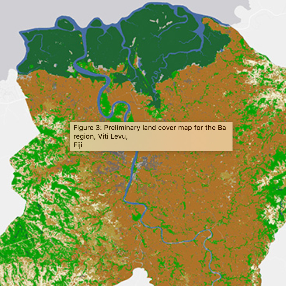
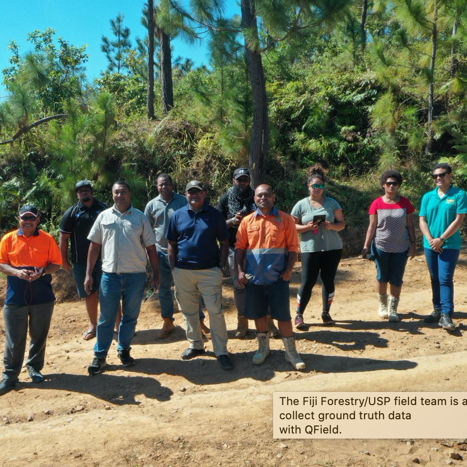
In collaboration with Fiji’s Ministry of Forests, a field team used QField to collect ground truth data in the Ba River Catchment and Nalotawa ERPD site. The ground truth data was used to help image analysts generate training and test data for developing machine learning models to classify land cover from satellite images.
You can read more about this work on the QField blog.