Livelihoods and Landscapes
  • About
  • Research
  • Examples
  • Docs
  • Outputs
  • Team

Using maplandscape

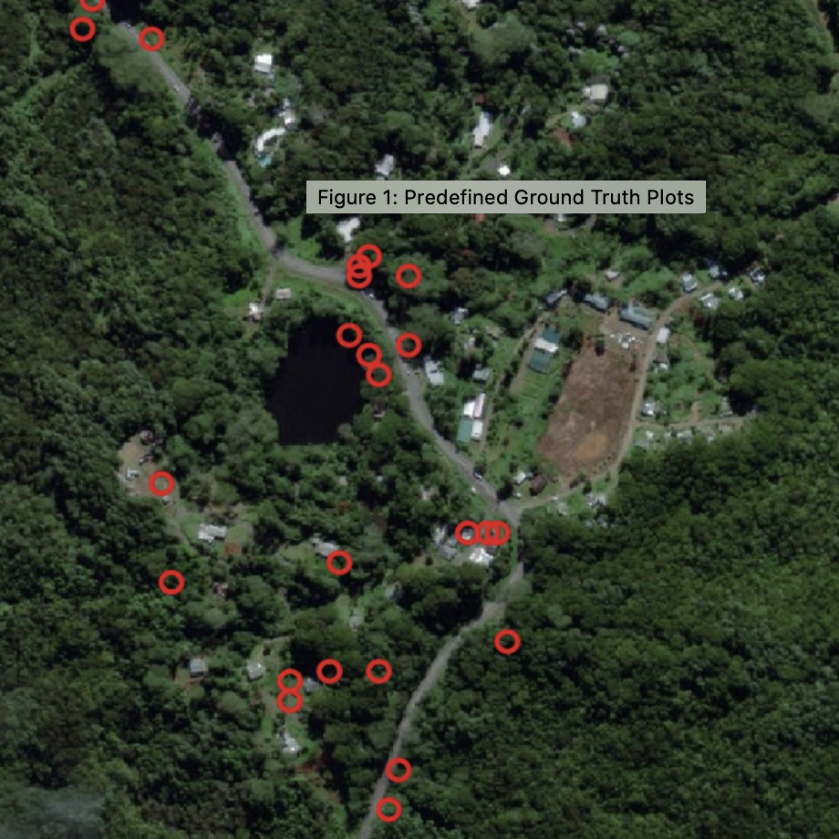
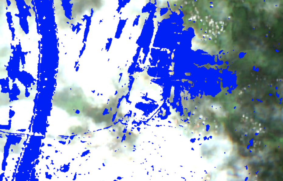
Detecting Flooding in Fiji’s Croplands
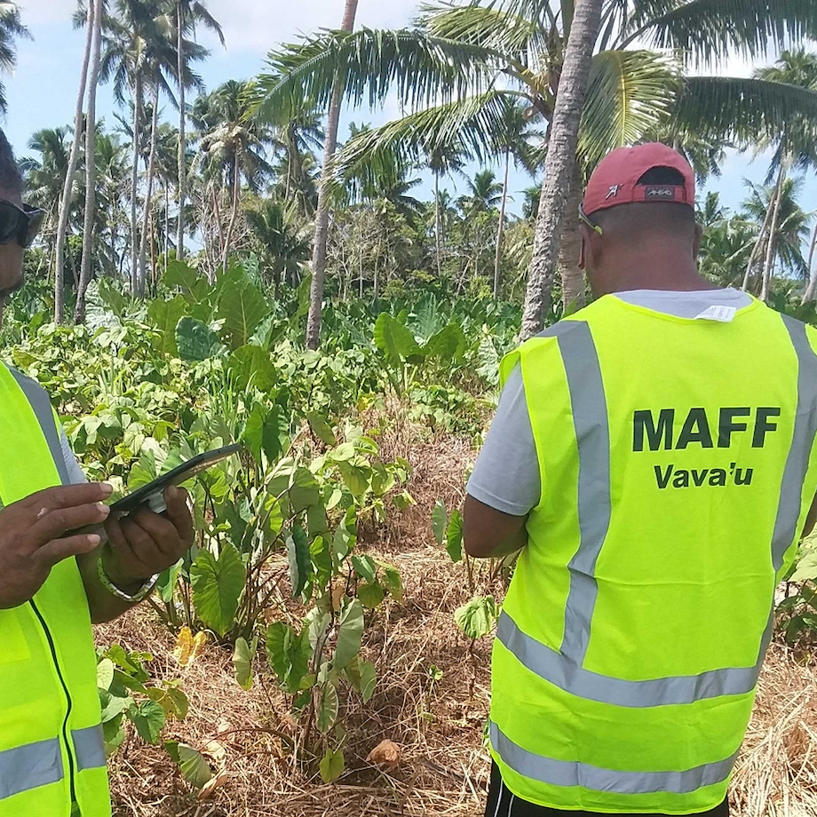
Please read about work by this team using QField, remote sensing data, and machine learning to support flood detection and damage assessment with Fiji’s Ministry of Agriculture. This work is supported by a Climate Change AI Innovation Grant and was published on the Climate Change AI blog.
John Duncan
Dec 3, 2020

Ground Truth Data Collection
In collaboration with Fiji’s Ministry of Forests, a field team used QField to collect ground truth data in the Ba River Catchment and Nalotawa ERPD site. The ground truth data was used to help image analysts generate training and test data for developing machine learning models to classify land cover from satellite images.
Kevin Davies
Oct 3, 2020

Hunga Tonga-Hunga Ha’apai Volcanic Eruption
In January 2022 the Hunga Tonga-Hunga Ha’apai submarine volcano erupted. Ash clouds from the eruption and the subsequent tsunami damaged croplands on the Tongatapu and Ha’apai island groups.
Ahi Saipaia
Sep 1, 2022

Tonga Crop Survey
Each year, the Ministry of Agriculture, Food, and Forests in Tonga conduct a crop survey to record the area allocated to different crops and the number of crops planted. The Ministry use this information for their reporting, informing policies and programs, and allocating government resources. This information is also used in food security responses after disaster events.
John Duncan
Sep 5, 2022

Vanilla Surveys with QField
In May and June 2020, a team of extension officers from Tonga’s Ministry of Agriculture, Food, and Forests conducted a spatial survey of vanilla plantations on the island group of Vava’u.
Ahi Saipaia, Leody Vainikolo, John Duncan
Aug 1, 2020
No matching items
Supported by ACIAR