Vanilla Surveys with QField
Mapping vanilla plantations on Vava’u
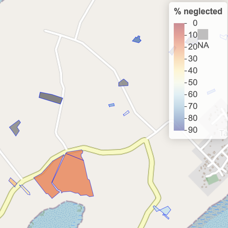
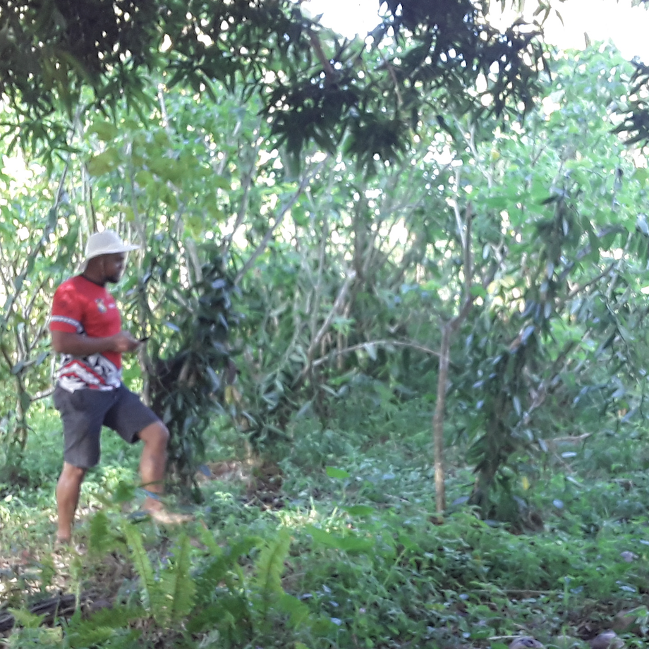
In May and June 2020, a team of extension officers from Tonga’s Ministry of Agriculture, Food, and Forests conducted a spatial survey of vanilla plantations on the island group of Vava’u.
The extent of each vanilla plantation on Vava’u was mapped using QField and various plantation management attributes were recorded such as variety and management condition. Maps on vanilla plantations were explored using QGIS and on web maps.
A large proportion of vanilla plantations were found to be in a neglected management conidtion; this is problematic as vanilla is a key commercial crop for the agricultural economy on Vava’u. Further work focused on understanding challenges farmers were facing which led to vanilla plantations falling into a neglected state.
Read more about the vanilla survey.